Blue Fire
We first heard about the blue flame volcano from a Belgian couple while staying in Da Lat, Vietnam. They said it was hard to photograph but assured us that it was a most amazing, memorable experience. We vowed to make this trek once we got to Indonesia.
Fast-forward several months. After several lazy weeks of beaches in Bali we were getting a little restless. We found the location of the hike, luckily it's the very first stop when taking the ferry from Bali to Java.
We took the ferry and walked to the Banyuwangi train station to go a few stops to the town that seemed like the best home base for the trek. While we were waiting for the train, we saw a Czech couple that we'd ridden a bus with a few days before. They said they also wanted to make the hike to the sulphur lake at the top of the Mount Ijen crater (Kawah Ijen in Bahasa Indonesia), but hadn't heard of the blue flames. After a quick discussion they were also sold.
A train station employee named Hari overheard us and approached with an offer: take a nap at his place for free, then we take a Jeep up to the mountain at 12:30am, hike up to the top, stay for sunrise, then we get dropped off wherever we want. His price seemed worth it for the four of us, so after a bit of deliberation we accepted. We went back to his home, organized a few things in our packs, then took a nap at 6pm.
Around midnight I woke up from a noise, and noticed that it was almost time! We finished packing our stuff and hopped into a well-maintained Jeep. Off we went into the pitch black night, somewhat uncertain of what lied ahead.
As we went higher up the mountain the road became bumpier and bumpier. I was in the front and could see that the road was pretty decent, but the darkness of night, the thick jungle, and the occasional lightning flickering in the clouds started making me worried. Before long we had arrived and there was no time to keep such thoughts around; time to hike up this mountain.
The road was very steep but in complete darkness it's easy to forget about what lies ahead and just march on. Remembering Geysers del Tatio (which was double the altitude at 4700m), we took it very slowly and did not rush the trail. Many other groups were powering up the mountain but before long we caught up to them all taking breaks, some tending to ones in the group that had fallen sick from altitude.
Here's our path up. I used satellite data because it turns out there's unusually high-quality imagery for this area. Try zooming in! Note that the large cloud over the crater is not a water vapor cloud; that's a cloud of sulphuric gas.
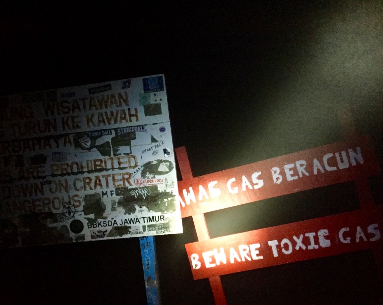
After an hour of hiking we came across a sign that said "VISITORS ARE PROHIBITED GOING DOWN ON CRATER DANGEROUS" and, just to be sure, a second sign reading "BEWARE TOXIC GAS" — it's pretty clear that the flood of tourists heading down into this crater are not really supposed to be here, but the promise of this natural wonder was just too much.
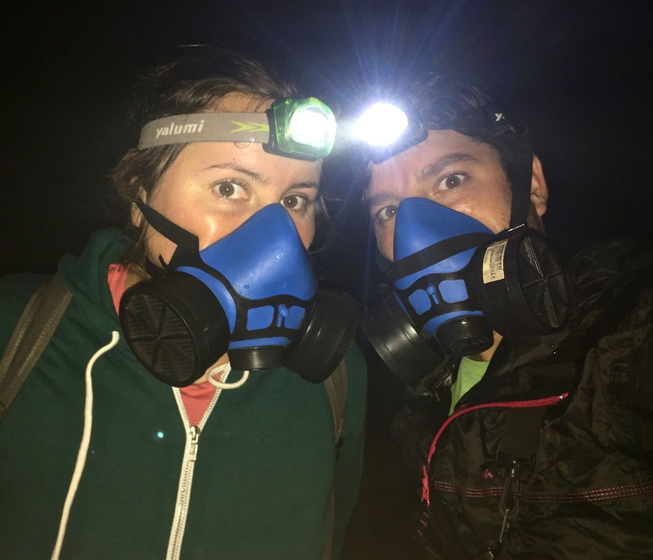
Armed with gas masks, we waited for a group with a guide to pass us and followed them down the very steep trail into the crater, made even worse by loose rocks all coated with a film of white powder from the sulphuric gas constantly erupting out of the earth.
The trail was harrowing. An occasional cloud of sulphuric gas stung our eyes, the mask made it difficult to both maneuver and breathe properly as we climbed, and on top of that it seemed like many had not seriously prepared for this dangerous hike, tripping on loose gravel due to wearing sandals or other improper footwear and endangering those around them by slipping or displacing rocks which tumbled into anyone below.
Finally, after 400m downward we'd made the descent and were treated to quite a sight: three bright blue flames coming out of the ground! It was very hard to capture the flames themselves, but it was truly a sight!
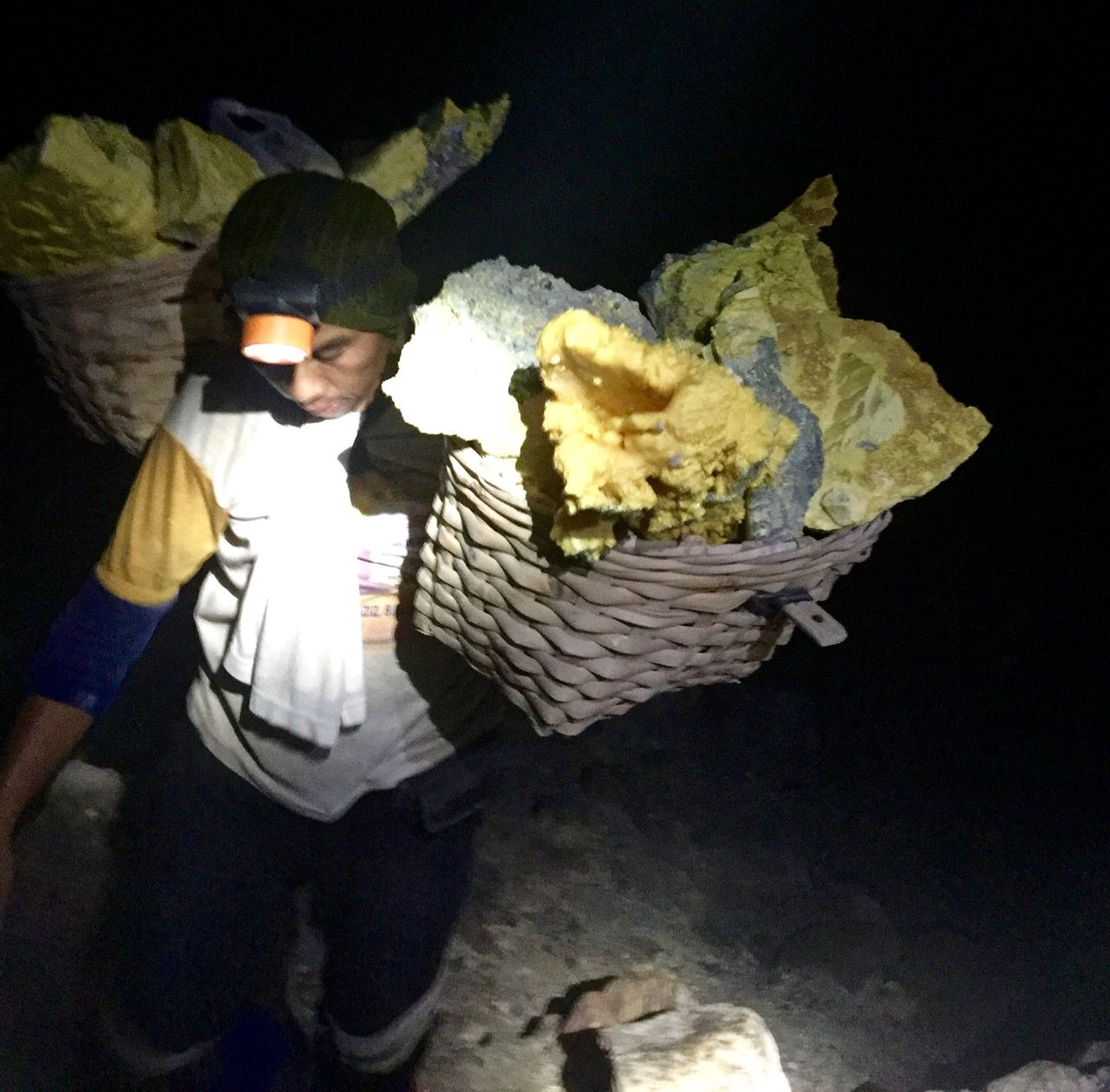
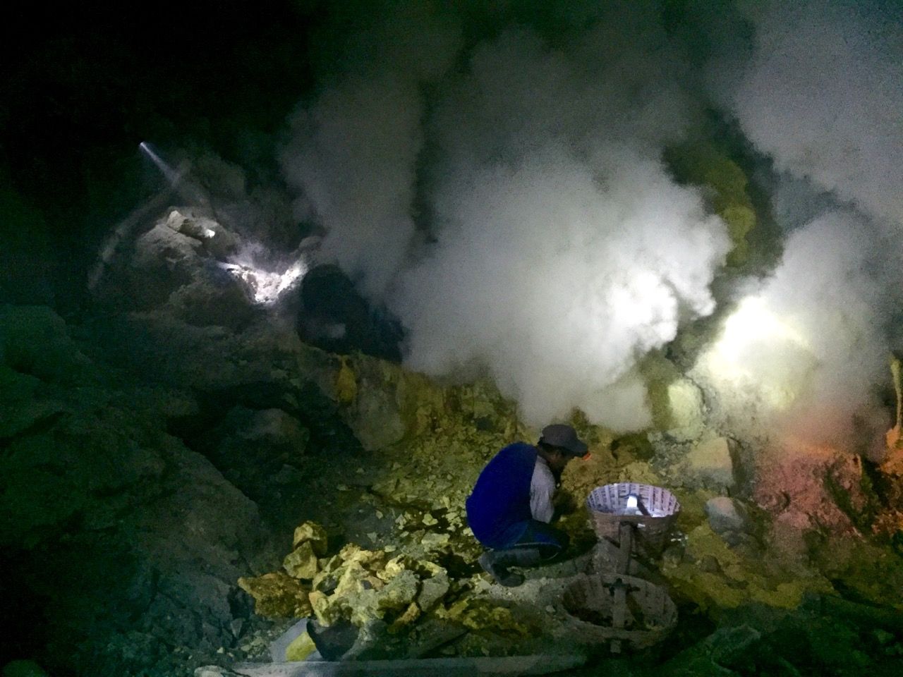
We did a bit of reading and based on others' experiences we came on a low-activity night, but we were far from disappointed. The combustion is a natural process driven by the pressure of the gas, so apparently the there are days with no visible flames at all. However, the flames can be much stronger and brighter, so have a look at these National Geographic photos of Kawah Ijen by Olivier Grunwald to get a better sense of what we saw with our own eyes.
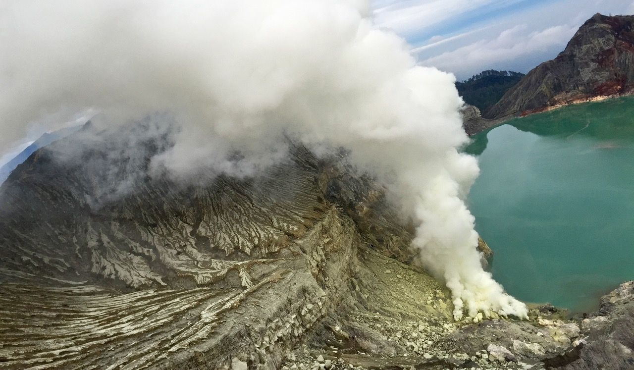
After hiking back out of the crater we sat on the ridge waiting for the sun to rise. As it became light we were surprised to finally see our surroundings: a huge sulphuric acid lake colored bright green, with the billowing smoke giving its surroundings a faint yellow tint.
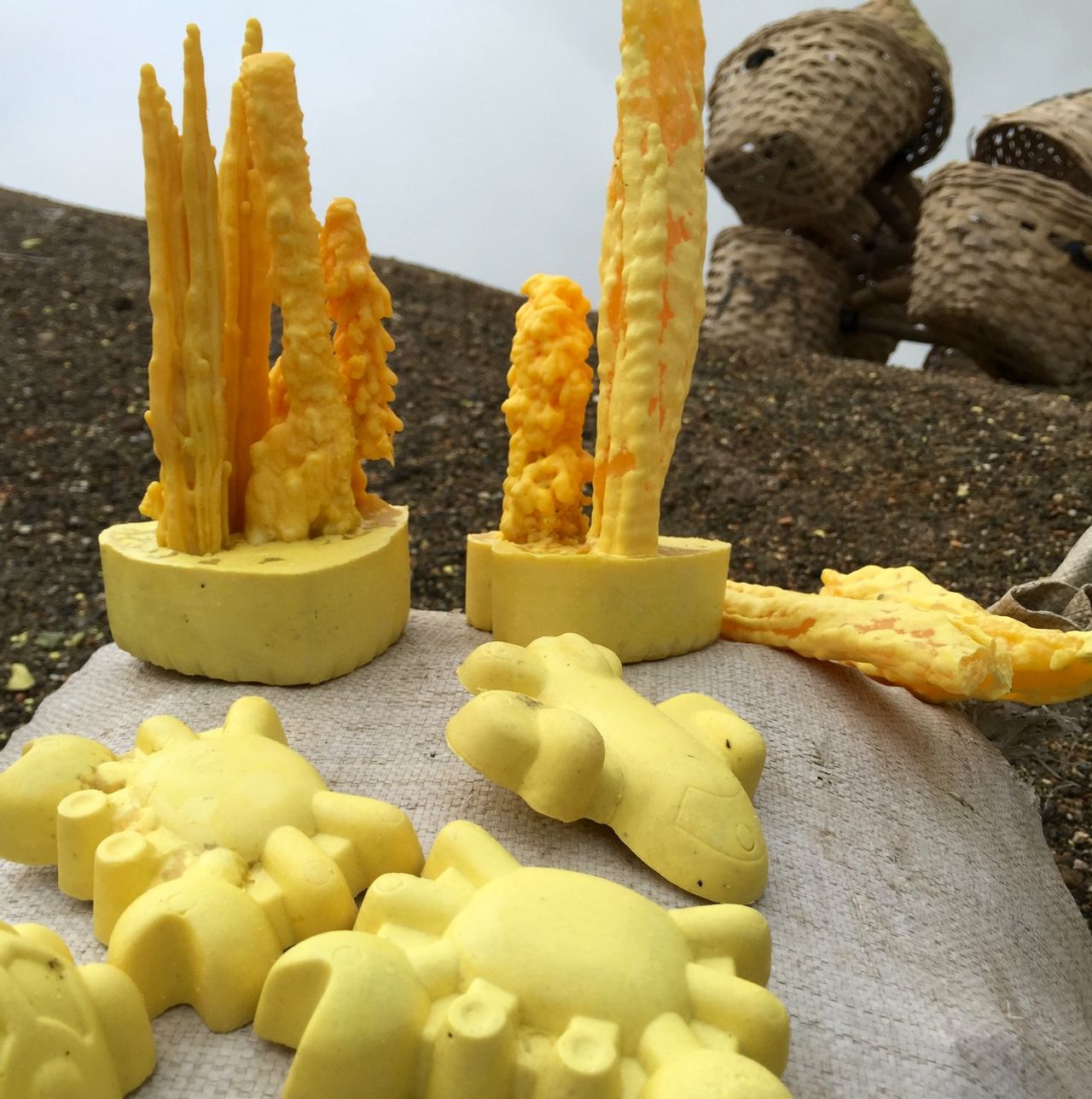
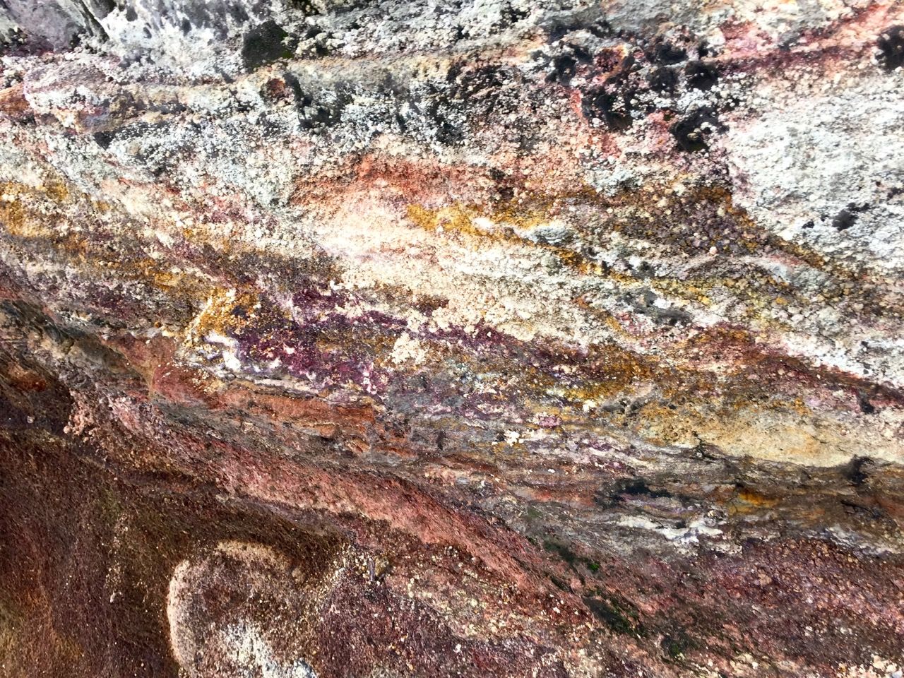
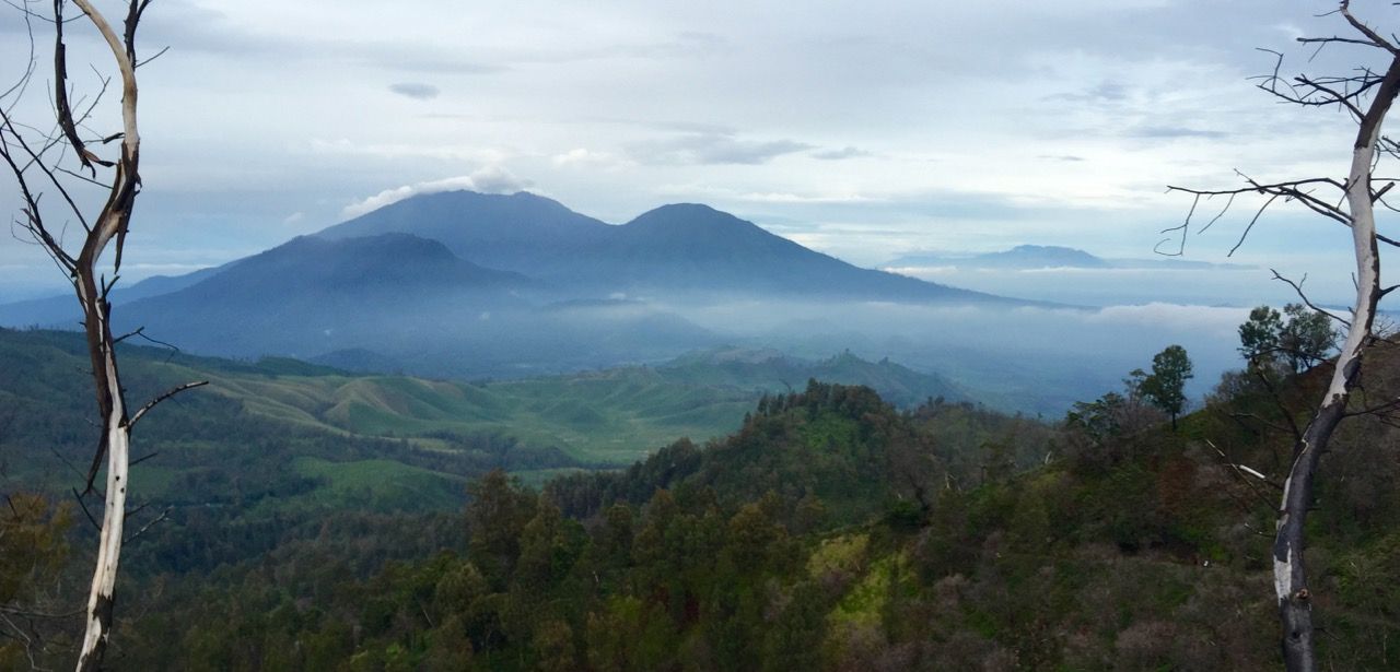
We ate a few snacks and absorbed the scene for a half hour before starting our hike back down the mountain. It was quite a treat hiking up at night and coming back down during the day... almost like two completely different trips! Both the surrounding forest and the mountain-lined horizon were beautiful, peaceful scenery to end the hike.